Archaeological Investigations

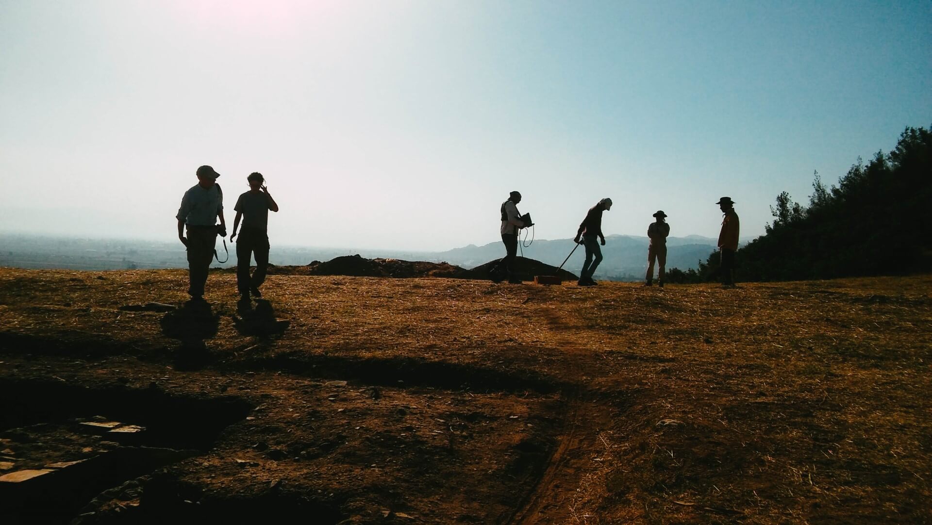
Archaeogeophysics is a significant branch of research that applies geophysical methods to the study of archaeological sites. Having emerged in the latter half of the 1940s, geophysical surveying has become a widely used practice in the investigation of archaeological sites today. Through the use of various geophysical techniques—such as magnetometry, ground-penetrating radar (GPR), electrical resistivity tomography, seismic tomography (Vp-Vs), spontaneous potential, and induced polarization tomography—archaeological sites can be examined in an integrated manner. This allows for a detailed visualization of the archaeological context, facilitating a comprehensive interpretation of the settlement.

Fields of Service

  • Subsurface Imaging Using Archaeogeophysical Methods
  • Grid-based Surveying and Mapping in Archaeology
  • Surface Survey
  • Rescue Excavation and Archaeological Test Trenching
  • Geophysical Studies for Restoration and Conservation Purposes
  • Archaeoseismology

Geoscience Investigations

With increasing urbanization and industrialization, the identification and characterization of geological and geotechnical issues are becoming ever more critical. Determining factors such as soil properties, faulting, groundwater conditions, landslides, and karstic voids is essential to the success of engineering projects. Furthermore, since the vast majority of structures and infrastructure are built upon Holocene and Quaternary deposits, assessing the geological and geotechnical characteristics of the subsurface—within the framework of microzonation—is vital for identifying potential challenges in urban areas.

Fields of Service

  • >Subsurface Imaging via Geophysical Methods
  • >Geological Mapping
  • >Active Fault and Palaeoseismology Studies
  • >Landslide Investigations
  • >Karstic Cavity Investigations
  • >Hydrogeological Investigations
  • >Mineral Exploration
  • >Geothermal Investigations
  • >Microzonation
  • >Rock and Soil Mechanics
  • >Well Testing
  • >Exploration Wells
  • >Geotechnical Drilling

Engineering Investigations

Route-related investigations encompass a comprehensive process, ranging from the initial design phase—prior to the construction of engineering structures such as railways, highways, metro lines, and tramways—to periodic inspections conducted after construction. Geophysical methods play a vital role in such engineering endeavours. Today, the integrated application and joint interpretation of geological, geophysical, and geotechnical studies are essential prerequisites before the construction of these types of engineering structures.

Fields of Service

  • Route Studies
  • Structural Component/Infrastructure Element Inspections
  • Port and Marine Structure Inspections
  • Subsurface Pipe and Cable Detection
  • Structural Reinforcement and Foundation Detection
  • Infrastructure Investigations and Mapping
GEOim

Sophisticated Earth Science & Engineering Solutions

View Projects