Electrical Resistivity Tomography (ERT – Geoelectric)
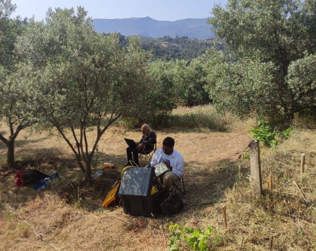
One of the significant applications in geophysical exploration is Electrical Resistivity Tomography (ERT), a technique widely used to investigate shallow, near-surface structures. Its scope of application is extensive, encompassing areas such as the detection of archaeological features, solid and liquid waste sites, buried near-surface military materials, engineering and construction structures, and the characterization of hydrogeological environments. It is also employed to identify various geological phenomena—including faults, landslides, and karstic voids—to assess the geophysical properties of ground intended for large-scale construction projects based on electrical principles, and to conduct investigations in geothermal areas. Electrical Resistivity Tomography (ERT) is a frequently utilized method for addressing these types of challenges, consistently yielding effective results.
View DetailsOur Geoelectric Equipment
AGIUSA SuperSting R1 Electrical Resistivity Data Collection Device
Technicial Specifications Contact Us